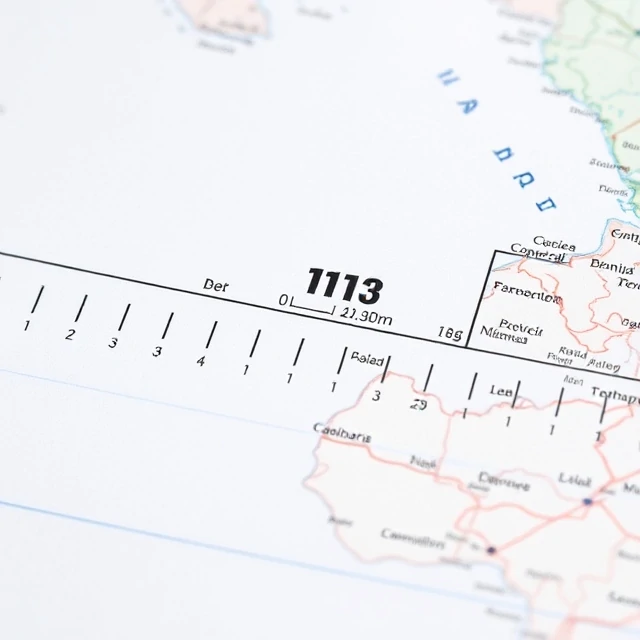
A map must shrink the world to fit on a page or screen. Scale is the ratio between a distance on the map and the corresponding distance on the ground. It may be expressed as a representative fraction (1:50,000), a verbal statement, or a graphic bar.
Large-scale maps show small areas in great detail; small-scale maps show large areas with less detail. Choice of scale determines what features can be represented and how much generalization is required. Digital maps allow dynamic zooming, yet an underlying scale still governs data resolution.
Scale also has a broader meaning in geography: the level of analysis, from local to global. Processes that appear at one scale may be invisible at another. Clear indication of scale is a basic requirement of any responsible map.
- Ratio of map distance to ground distance
- Expressed as fraction, statement, or bar
- Determines level of detail
- Also refers to level of geographic analysis
Comments
No comments yet. Be the first to share a thought.
Leave a comment