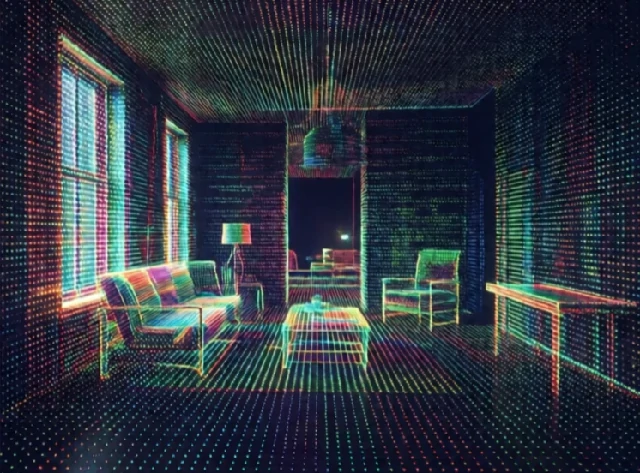
Mapping creates a representation of a robot's environment. The map might be a 2D grid of occupied and free space. It might be a 3D point cloud. It might be a topological graph of rooms and corridors. The robot uses the map to plan paths, avoid obstacles, and localize itself.
Early mobile robots used hand-drawn maps or followed wires in the floor. Today, robots build maps as they explore. Lidar and cameras collect data. SLAM algorithms stitch the data into a consistent map. The robot can then navigate to any point in the mapped area. Mapping is never perfect. Dynamic obstacles, reflective surfaces, and sensor noise create errors.
Map representations
- Occupancy grid: 2D cells marked free, occupied, or unknown.
- Point cloud: 3D points from lidar or depth cameras.
- Feature map: landmarks and their positions.
- Topological map: nodes and edges representing places and paths.
- Semantic map: labels objects and rooms, not just geometry.
A good map is compact and useful. A raw point cloud is accurate but huge. An occupancy grid is compact but loses detail. A semantic map tells the robot that a sofa is in the living room, which helps with task planning. The choice depends on the application. A warehouse robot needs a precise grid for navigation. A home robot might use a semantic map to find the kitchen. Mapping is how a robot remembers where things are. Without it, every mission starts from scratch.
Comments
No comments yet. Be the first to share a thought.
Leave a comment