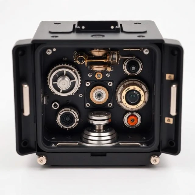
No satellites, no radio, no external signals. An inertial navigation system tracks position by measuring acceleration and rotation from onboard sensors, integrating those measurements over time to estimate where the vehicle has travelled.
Gyroscopes track orientation. Accelerometers track changes in velocity. Combining the two gives a full picture of motion in three dimensions. Accuracy drifts slowly, so most systems update with GPS or other references.
Where INS matters
- Submarines that cannot surface for satellite fixes
- Aircraft crossing oceans before GPS existed
- Missiles requiring jam-resistant navigation
- Spacecraft operating beyond satellite coverage
Modern ring laser and fibre optic gyros replaced spinning mass designs. They have no moving parts, last longer, and survive higher vibration.
Comments
No comments yet. Be the first to share a thought.
Leave a comment