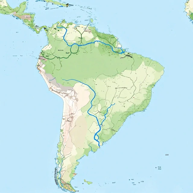
A river basin is the entire area of land drained by a river and its tributaries. It is also called a watershed or drainage basin. Every drop of water that falls in the basin flows toward the same river system. The boundaries are the divides. A divide is a ridge of higher land. Water on one side flows to one river. Water on the other side flows to another.
River basins vary in size. The Amazon Basin covers about 7 million square kilometers. It is the largest in the world. The Mississippi Basin covers about 3 million square kilometers. Small basins drain into creeks. The size depends on the landscape and the climate.
River basin characteristics
- Drainage divide: the boundary between basins.
- Tributaries: smaller rivers that feed the main river.
- Confluence: where two rivers meet.
- Delta: where the river meets a larger body of water.
- Floodplain: the flat land along the river.
River basins are natural units. They ignore political boundaries. A single basin can span multiple states or countries. That makes management difficult. Pollution upstream affects water downstream. Water withdrawal upstream reduces flow downstream. Cooperation is essential. Organizations like the Mississippi River Commission and the Nile Basin Initiative try to manage shared basins. The challenge is balancing competing interests. Agriculture, industry, cities, and ecosystems all need water. The river basin is the unit where those needs collide. It is also the unit where solutions must be found. Water flows downhill. Cooperation must flow uphill. That is the challenge of the river basin.
Comments
No comments yet. Be the first to share a thought.
Leave a comment