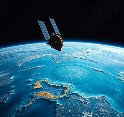
Radar altimeters on satellites measure the height of the sea surface with centimeter-level precision by timing the round trip of a microwave pulse. This technique, satellite altimetry, has revolutionized the observation of ocean circulation, tides, and sea-level change.
After corrections for atmospheric delays, wave effects, and orbital uncertainties, the resulting sea-surface height maps reveal the topography of the ocean surface. Hills and valleys of only tens of centimeters correspond to major currents through the geostrophic balance. Altimetry also measures wave height and wind speed from the shape of the returning pulse.
Continuous altimeter records since the early 1990s have provided the primary observational evidence for ongoing global mean sea-level rise. The data are essential for assimilating into ocean models and for monitoring phenomena such as El Niño and mesoscale eddies. Future missions aim for even finer resolution closer to the coast.
- Radar measurement of sea-surface height from space
- Reveals currents, tides, and sea-level change
- Centimeter-level accuracy after corrections
- Foundation of modern sea-level monitoring
Comments
No comments yet. Be the first to share a thought.
Leave a comment