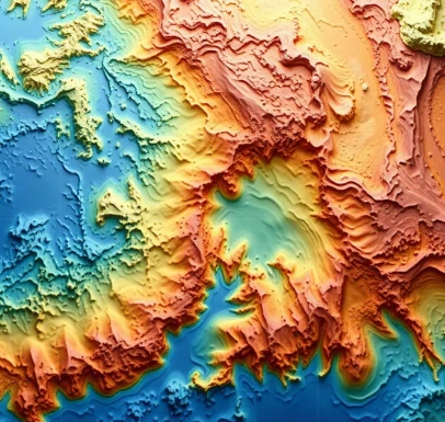
Knowing the shape of the seafloor is as fundamental to oceanography as topography is to geology on land. Bathymetry is the measurement and charting of ocean depth and the relief of the bottom.
Early soundings used weighted lines; modern surveys rely on multibeam echosounders that send fans of acoustic pulses and measure the return time from thousands of points at once. Satellite altimetry infers large-scale bathymetry from the gravitational effect of seafloor features on the sea surface. The resulting maps reveal mid-ocean ridges, trenches, seamounts, and the subtle fabric of abyssal hills.
Accurate bathymetry underpins safe navigation, tsunami modeling, habitat mapping, and the placement of cables and pipelines. Large areas of the deep ocean still lack high-resolution coverage; international efforts continue to fill the gaps. Every new survey revises our picture of the planet’s largest and least-seen landscape.
- Measurement of ocean depth and seafloor shape
- Uses sonar and satellite methods
- Essential for navigation and science
- Still incomplete for much of the deep ocean
Comments
No comments yet. Be the first to share a thought.
Leave a comment