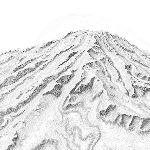
A flat map can still show the shape of hills and valleys. Contour lines connect points of equal elevation above a reference level, usually sea level. When the lines lie close together the slope is steep; when they spread out the land is gentle.
Every contour is a closed loop, though the loop may run off the edge of the map. Index contours are drawn thicker and labeled with the elevation. Depressions are marked with hachures pointing downhill. Reading contours allows a hiker or engineer to visualize three-dimensional terrain from a two-dimensional sheet.
Modern digital elevation models generate contours automatically, yet the principle remains the same. Contour maps are essential for land-use planning, flood-risk assessment, and outdoor navigation. The spacing and shape of the lines tell the story of the landscape.
- Line joining points of equal elevation
- Close spacing indicates steep slopes
- Used on topographic maps
- Helps visualize three-dimensional terrain
Comments (2)
Leave a comment