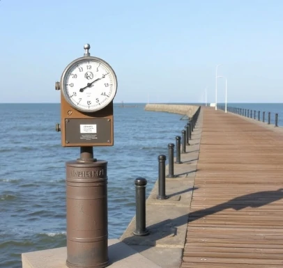
Sea level is the height of the ocean surface relative to a reference point, often a local benchmark or a global reference ellipsoid. In practice it varies with tides, atmospheric pressure, currents, and the longer-term effects of climate change.
Mean sea level at a location is determined by averaging observations over a period long enough to remove tidal and weather-related fluctuations. Global mean sea level is estimated from networks of tide gauges and, since the 1990s, from satellite altimetry. The ocean surface is not flat; geostrophic currents and density differences maintain permanent hills and valleys of up to two meters.
Accurate sea-level measurements are essential for coastal planning, navigation, and the detection of climate-driven rise. Vertical land motion at tide-gauge sites must be accounted for when interpreting long records. The ongoing rise in global mean sea level is one of the most direct and measurable consequences of a warming climate.
- Height of the ocean surface relative to a datum
- Varies with tides, weather, and climate
- Measured by tide gauges and satellites
- Global mean is rising
Comments
No comments yet. Be the first to share a thought.
Leave a comment