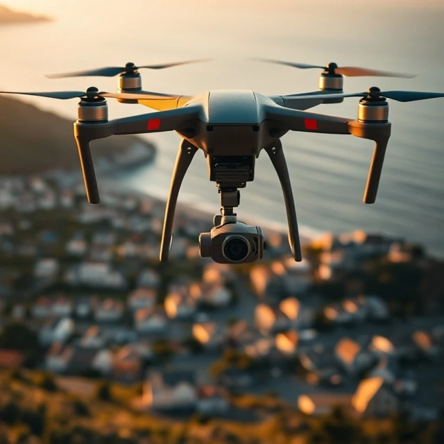
The first aerial photographs were taken from hot air balloons in the 1850s. A photographer named Nadar floated over Paris with a camera and a darkroom tent, capturing the city from above. Today, drones do the same job for a fraction of the cost. Aerial photography is the practice of capturing images from the air, looking down at landscapes, buildings, and people from a perspective the human eye rarely sees.
Drones have transformed the field. A photographer can launch a quadcopter, frame a shot on a phone screen, and land it in minutes. But altitude is not the only variable. The angle matters: straight down for maps, oblique for architectural context, low and close for dramatic reveals. Helicopters and small planes still serve when range and payload matter. Regulations vary by country, and many places require licenses, registration, and altitude limits.
Common uses
- Real estate. Showing property and land from above.
- Mapping and surveying. Creating orthomosaic images for construction and agriculture.
- Film and television. Establishing shots and action sequences.
- Journalism. Documenting protests, disasters, and border zones.
The best aerial images are not just high. They use altitude to reveal pattern, scale, or relationship that is invisible from the ground.
Comments
No comments yet. Be the first to share a thought.
Leave a comment