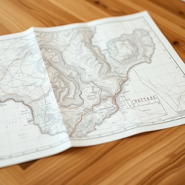
A flat representation can summarize a curved world. A map is a selective, symbolized depiction of geographic reality designed to communicate spatial relationships. No map can show everything; each is a purposeful abstraction.
Maps use scale, projection, and a system of signs to encode location, distance, direction, and attributes. Topographic maps emphasize terrain; thematic maps highlight a particular variable such as population or climate. Digital maps add interactivity and real-time data.
People use maps to navigate, to plan, to persuade, and to understand patterns. The history of cartography records both increasing accuracy and the persistent influence of cultural perspective. A well-made map remains one of the most efficient ways to convey complex spatial information.
- Symbolic representation of geographic space
- Uses scale, projection, and legend
- Selective and purpose-driven
- Ranges from paper to interactive digital forms
Comments
No comments yet. Be the first to share a thought.
Leave a comment