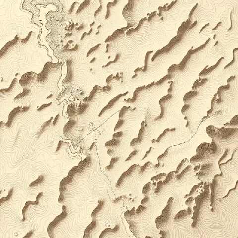
The shape of the land surface can be measured and mapped in detail. Topography refers to the arrangement of natural and artificial physical features of an area, especially its relief and landforms. Contour maps and digital elevation models are the primary tools for representing topography.
Topographic characteristics control drainage patterns, microclimates, visibility, and the cost of construction. Steep topography favors erosion and mass wasting; flat topography may present drainage challenges. Military, engineering, and recreational activities all depend on accurate topographic information.
Modern remote sensing, including LiDAR and radar interferometry, produces high-resolution topographic data over large areas. These datasets support flood modeling, landslide susceptibility mapping, and landscape visualization. Reading topography remains a fundamental skill for anyone working with the physical landscape.
- Arrangement of surface features and elevations
- Represented by contours and elevation models
- Controls drainage, climate, and land use
- Mapped by ground survey and remote sensing
Comments
No comments yet. Be the first to share a thought.
Leave a comment