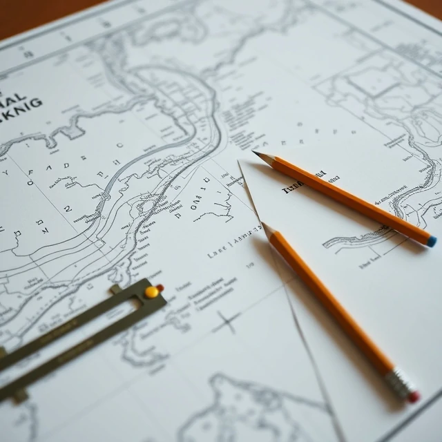
Safe navigation starts with a picture of the water. A chart is a map of navigable waters showing depths, coastline, hazards, aids to navigation, and other features needed to plan and execute a voyage.
Paper charts remain in use, but electronic navigational charts displayed on ECDIS systems are now standard on most commercial ships. Charts are corrected through notices to mariners so that new wrecks, shifted buoys, and changed depths appear promptly. Scale determines how much detail is shown.
Using an uncorrected or inappropriate chart is a common factor in groundings. Navigators cross-check chart information with radar, visual bearings, and depth soundings. The chart is both a planning tool and a legal record of the intended and actual track.
- Map of navigable waters and related features
- Available in paper and electronic forms
- Updated through official correction systems
- Essential for planning and real-time navigation
Comments
No comments yet. Be the first to share a thought.
Leave a comment