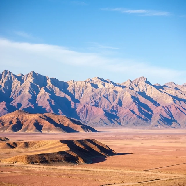
Some landscapes are nearly flat; others rise and fall dramatically. Relief is the difference in elevation between the highest and lowest points in a given area. Local relief refers to small areas; regional relief encompasses larger territories.
High-relief landscapes such as mountain ranges result from rapid uplift relative to erosion. Low-relief landscapes may indicate prolonged erosion or depositional filling. Relief influences climate, drainage patterns, accessibility, and the distribution of habitats.
Topographic maps and digital elevation models allow precise measurement of relief. Geomorphologists use relief as a basic descriptor when classifying terrain and assessing erosion potential or landslide hazard. The eye instinctively reads relief as one of the most fundamental attributes of any landscape.
- Elevation difference between high and low points
- Describes ruggedness of terrain
- Influences climate, drainage, and accessibility
- Measured from maps or elevation models
Comments
No comments yet. Be the first to share a thought.
Leave a comment