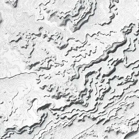
The shape of the land can be measured and mapped. Topography is the arrangement of natural and artificial physical features of an area—its relief, landforms, and the elevation differences between them. Contour maps are the classic representation of topography.
Topographic characteristics control drainage patterns, microclimates, and the distribution of vegetation. Engineers consult topography when siting roads, reservoirs, and buildings. Military operations have always depended on detailed knowledge of local topography.
Modern remote sensing and LiDAR produce high-resolution digital elevation models that capture topography in fine detail. These data support flood modeling, visibility analysis, and landscape visualization. Reading topography remains a fundamental skill for understanding any landscape.
- Arrangement of surface features and elevations
- Represented by contour maps and digital models
- Influences drainage, climate, and land use
- Essential for planning and navigation
Comments
No comments yet. Be the first to share a thought.
Leave a comment