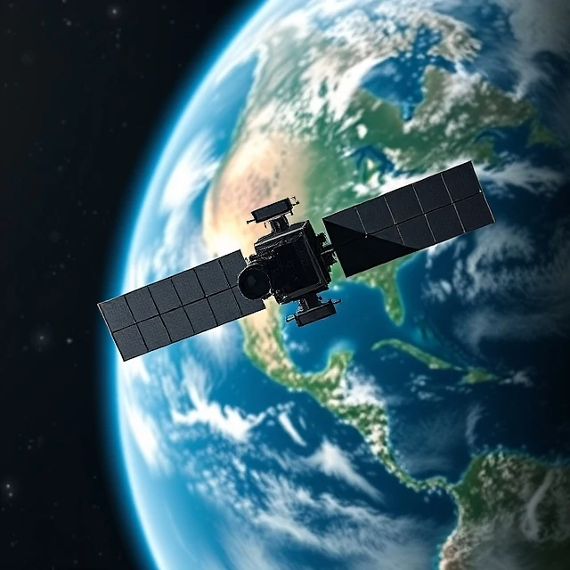
Information about the Earth’s surface can be gathered without physical contact. Remote sensing uses sensors on satellites, aircraft, or drones to detect and measure electromagnetic radiation reflected or emitted by the land, water, and atmosphere.
Optical imagery records visible and infrared light; radar penetrates clouds and can measure surface elevation. Time series of images reveal changes in land cover, vegetation health, ice extent, and urban growth. The data underpin weather forecasting, disaster response, agriculture, and environmental monitoring.
Processing remote-sensing data requires correction for atmospheric effects and geometric distortion. Classification algorithms turn raw signals into maps of land-cover types. As sensor resolution and revisit frequency improve, remote sensing continues to expand the range of questions geographers can answer from a distance.
- Gathering data from a distance with sensors
- Uses satellites, aircraft, and drones
- Records electromagnetic radiation
- Essential for monitoring environmental change
Comments (2)
Leave a comment