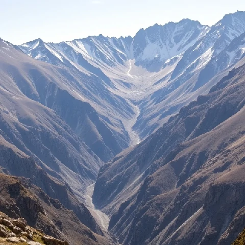
The surface of the land is rarely uniform. Terrain refers to the physical features and topography of a tract of ground—its slopes, elevations, ridges, and valleys. Soldiers, engineers, and hikers all evaluate terrain for its practical implications.
Rugged terrain impedes movement and raises construction costs. Flat terrain favors agriculture and urban expansion but may present drainage problems. Digital elevation models allow precise measurement and visualization of terrain characteristics.
Terrain analysis supports military planning, infrastructure routing, and ecological studies of habitat connectivity. The same elevation data used for contour maps also feed models of landslide risk and water flow. Describing terrain accurately remains a basic geographic skill.
- Physical features and shape of the land
- Includes slopes, elevations, and landforms
- Affects movement, construction, and land use
- Analyzed with maps and digital elevation data
Comments
No comments yet. Be the first to share a thought.
Leave a comment