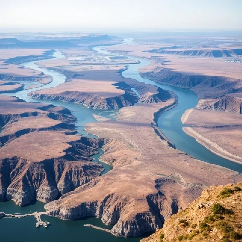
Landforms have origins that can be read from their shape and materials. Geomorphology is the study of the Earth’s surface features and the processes that create and modify them. It bridges geology, climatology, and hydrology.
Fluvial, glacial, coastal, eolian, and tectonic processes each produce distinctive assemblages of landforms. Quantitative geomorphology measures rates of erosion, sediment transport, and uplift. Remote sensing and digital elevation models have expanded the ability to analyze landscapes at multiple scales.
Applied geomorphology informs hazard assessment, river management, and landscape restoration. Historical geomorphology reconstructs how present landscapes evolved. By linking form to process, the discipline explains why the surface looks the way it does and how it is likely to change.
- Study of landforms and surface processes
- Examines fluvial, glacial, coastal, and other systems
- Combines field observation with quantitative analysis
- Applied to hazards and environmental management
Comments
No comments yet. Be the first to share a thought.
Leave a comment