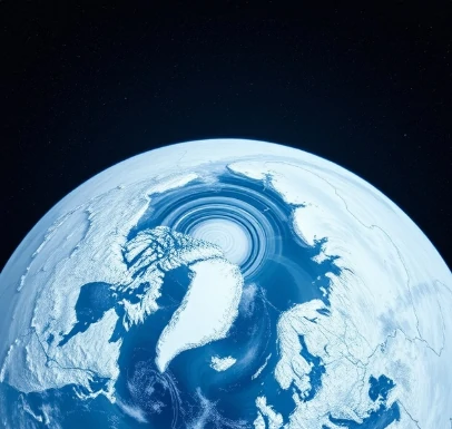
High above the poles, a large-scale circulation of cold air spins through the winter stratosphere and upper troposphere. That circulation is the polar vortex. It is a normal feature of the cold season, not a temporary visitor.
When the vortex is strong and stable, cold air remains bottled up near the poles. When it weakens or becomes distorted, lobes of cold air can spill southward into mid-latitudes, producing severe cold outbreaks. Stratospheric sudden warmings are one mechanism that disrupts the vortex.
Media coverage sometimes treats the polar vortex as a rare event, yet the feature itself is present every winter. What varies is its strength and the degree to which it influences surface weather. Researchers study the links between the stratospheric vortex and tropospheric weather patterns to improve long-range forecasts.
Satellite and balloon data track the vortex throughout the cold season.
Comments
No comments yet. Be the first to share a thought.
Leave a comment