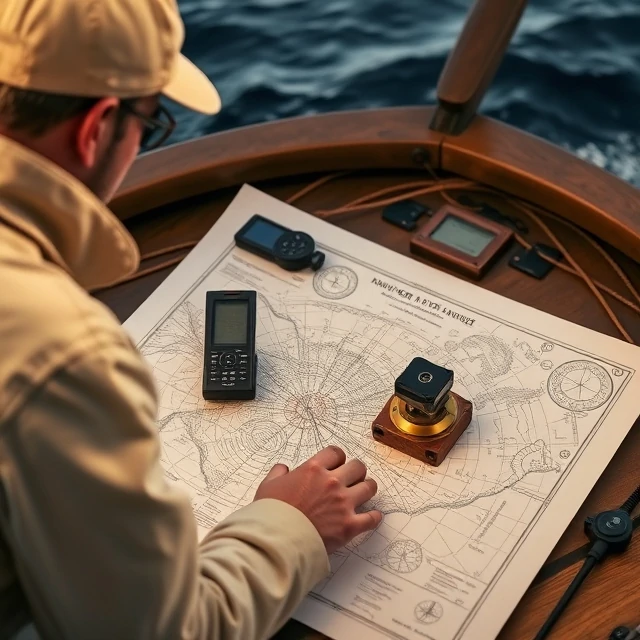
Safe passage depends on knowing what lies beneath and around the ship. A nautical chart is a specialized map of a water area showing depths, shoreline, hazards, aids to navigation, and other information required for marine navigation.
Charts are issued by hydrographic offices and kept up to date through notices to mariners. Electronic navigational charts displayed on ECDIS have largely replaced paper for primary navigation on commercial ships, yet paper backups remain common. Scale, datum, and units of depth must be understood before use.
Navigators plot routes, fix positions, and monitor progress on the chart. Using an outdated or inappropriate chart is a frequent factor in groundings. The chart is both a working tool and a legal record of the voyage plan.
- Specialized map for marine navigation
- Shows depths, hazards, and aids to navigation
- Updated through official correction systems
- Available in paper and electronic forms
Comments
No comments yet. Be the first to share a thought.
Leave a comment