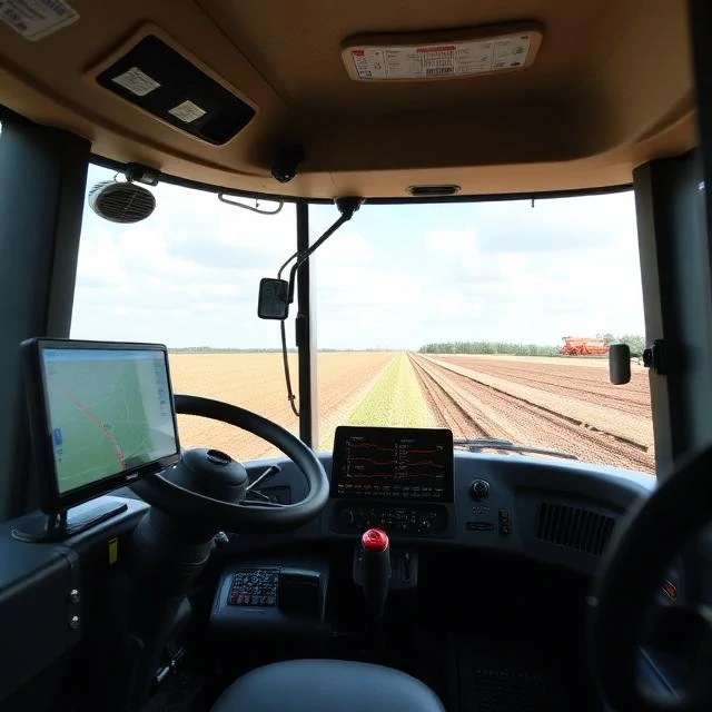
Precision agriculture uses data and technology to match inputs to the specific needs of each part of a field. Instead of treating a hundred hectares as one uniform block, it treats them as dozens of smaller zones, each with its own fertility, moisture, and yield history.
The tools have matured quickly. GPS guidance lets tractors drive themselves to within a few centimetres. Yield monitors record how much grain comes off every square metre. Soil sensors, drone imagery, and satellite data reveal variability that the eye cannot see. Variable-rate applicators adjust seed, fertiliser, and spray in real time as the machine moves.
Core components
- GPS and auto-steer for tractors and combines
- Yield mapping to identify low- and high-performing zones
- Remote sensing from drones and satellites
- Variable-rate seeding, fertiliser, and spraying
The payoff is not just higher yield. It is less waste: fewer chemicals in the wrong places, less fuel, and fewer passes over the field. Small farms often find the entry cost too high, but the technology is getting cheaper every year.
Comments (3)
Leave a comment