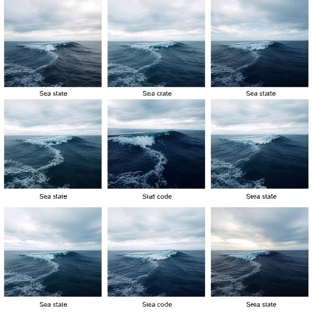
The surface of the sea tells the navigator what to expect. Sea state is a description of the roughness of the sea surface, usually expressed by a numerical scale related to significant wave height and the appearance of waves.
The World Meteorological Organization sea state code ranges from 0 (calm, glassy) to 9 (phenomenal). Forecasts and ship reports use these codes or give wave heights directly. Sea state affects ship motion, speed, cargo security, and the feasibility of boat and helicopter operations.
Masters adjust course and speed to reduce slamming and rolling in adverse sea states. Distinguishing wind sea from swell matters for comfort and safety. Accurate sea state reporting helps other ships and improves forecast models.
- Description of sea surface roughness
- Linked to wave height and appearance
- Affects ship handling and operations
- Reported by standard numerical codes
Comments
No comments yet. Be the first to share a thought.
Leave a comment