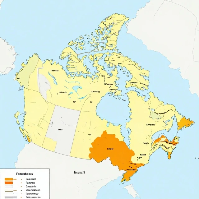
A formal region is an area defined by a common characteristic. The characteristic might be language, climate, religion, or political boundaries. The region is homogeneous. Everyone in it shares the trait. The borders are clear. The criteria are objective. A formal region is also called a uniform region.
Examples include the French-speaking region of Canada. The climate region of the Sahara Desert. The political region of the European Union. Each is defined by a single trait or a set of traits. The trait is measurable. The region is mapped. The boundaries are drawn where the trait changes.
Formal region examples
- Language region: Francophone Canada.
- Climate region: tropical rainforest.
- Political region: the United States.
- Religious region: the Islamic world.
- Agricultural region: the Corn Belt.
Formal regions are useful for analysis. They simplify complexity. They let geographers compare areas. They let planners target resources. But formal regions are not perfect. A region defined by language might have pockets of other languages. A climate region might have microclimates. A political region might have diverse populations. The boundaries are approximations. They are drawn for convenience. They do not capture every detail. That is the limitation. Formal regions are models. They are not reality. But they are useful models. They help us understand patterns. They help us make decisions. A formal region is a tool. It is not the whole story. But it is a useful chapter.
Comments
No comments yet. Be the first to share a thought.
Leave a comment