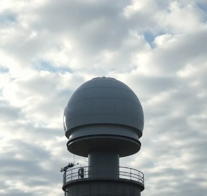
Ordinary radar detects precipitation by the strength of returned radio waves. Doppler radar adds the ability to measure motion. It senses the frequency shift of the returned signal caused by moving raindrops or snowflakes, revealing whether precipitation is approaching or receding.
This velocity information shows wind patterns inside storms. Meteorologists can identify rotation that may produce tornadoes, detect strong outflow boundaries, and estimate rainfall rates more accurately. Dual-polarization upgrades further improve the discrimination between rain, hail, and non-meteorological targets.
National networks of Doppler radars provide continuous coverage over large areas. Data appear on public websites and television broadcasts within minutes. The technology has sharply reduced the average warning time for severe thunderstorms and tornadoes.
Research radars continue to refine the technique for even finer-scale measurements.
Comments
No comments yet. Be the first to share a thought.
Leave a comment