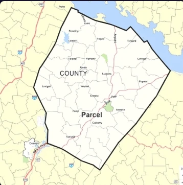
A county assessor assigns a unique number to a specific tract of land with defined boundaries. That tract is a parcel. Parcels are the units by which land is identified for taxation, ownership, and regulation.
A parcel may contain one lot or several. It may be vacant or improved. Legal descriptions, tax maps, and GIS systems all reference parcels. When land is subdivided, new parcels are created; when lots are combined, parcels may be merged.
Buyers and developers examine parcel maps to understand size, shape, access, and adjoining ownership. Zoning, flood zones, and environmental constraints are often tracked at the parcel level. Clear parcel identification prevents confusion about what is being bought or sold.
- Specific tract of land with defined boundaries
- Identified for tax and ownership purposes
- May be subdivided or combined
- Referenced in legal and mapping systems
Comments
No comments yet. Be the first to share a thought.
Leave a comment