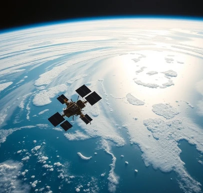
Satellites and aircraft can measure ocean properties from afar by detecting reflected, emitted, or backscattered electromagnetic radiation. This suite of techniques is remote sensing. It provides the synoptic, repeated coverage that in-situ observations alone cannot achieve.
Ocean color sensors estimate chlorophyll and other constituents; infrared and microwave radiometers measure sea-surface temperature; altimeters measure sea-surface height and infer currents and wave height; scatterometers measure wind speed and direction. Synthetic aperture radar detects surface roughness, oil slicks, and sea ice. Each sensor type has characteristic resolution, accuracy, and susceptibility to clouds or other interference.
Remote sensing has transformed oceanography by revealing basin-scale patterns and long-term trends. It requires careful calibration against in-situ data and sophisticated algorithms to convert radiances into geophysical variables. Combined with models and autonomous platforms, satellite remote sensing forms the backbone of modern ocean observing.
A single satellite pass can map conditions across an entire ocean basin in minutes.
Comments
No comments yet. Be the first to share a thought.
Leave a comment