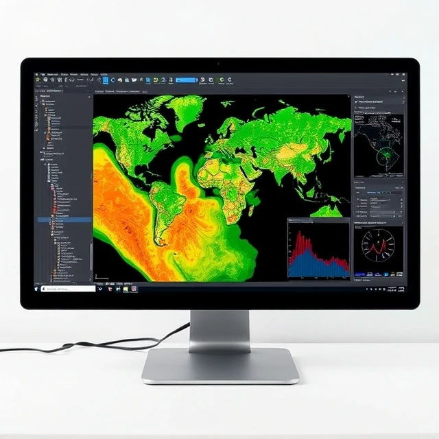
Maps once existed as static sheets of paper. A geographic information system, or GIS, stores, analyzes, and displays spatial data on computers. Layers of information—roads, elevation, population, land use—can be combined and queried.
GIS underpins modern cartography, urban planning, environmental management, and emergency response. Analysts ask questions such as which schools lie within a flood zone or where new clinics would best serve an aging population. The software handles both vector features and continuous raster surfaces.
Data come from satellites, surveys, censuses, and sensors. Visualization tools turn tables of coordinates into clear maps and interactive web applications. As spatial data become more abundant, GIS skills are increasingly valuable across government, business, and science.
- Software for spatial data analysis and mapping
- Combines multiple data layers
- Supports planning and decision-making
- Handles vector and raster information
Comments
No comments yet. Be the first to share a thought.
Leave a comment