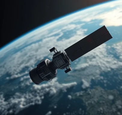
Orbiting high above Earth, weather satellites provide a continuous view of clouds, moisture, temperature, and other variables across the entire planet. Geostationary satellites hover over a fixed point on the equator and deliver images every few minutes. Polar-orbiting satellites fly lower and provide global coverage with higher resolution.
Instruments measure visible light, infrared radiation, and water-vapor wavelengths. The data reveal storm structure, track tropical cyclones, monitor volcanic ash, and estimate rainfall. Sounders retrieve vertical profiles of temperature and moisture that complement balloon observations.
Satellite imagery is familiar to the public from television and websites. In forecasting offices the same data are used quantitatively to initialize and verify models. The global network of weather satellites forms a critical component of the observing system.
New generations of satellites continue to improve spatial and temporal resolution.
Comments
No comments yet. Be the first to share a thought.
Leave a comment