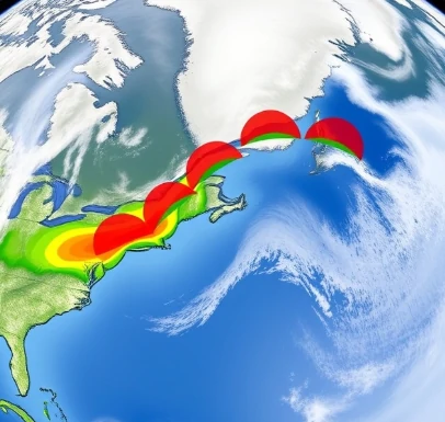
When warmer air advances and replaces cooler air at the surface, the boundary is a warm front. The warm air rises gradually over the denser cool air, producing a broad area of cloud and precipitation ahead of the surface front.
The sequence of clouds often begins with high cirrus, followed by lowering and thickening layers, and finally light to moderate precipitation. Temperature and dew point rise once the front passes, and winds usually shift. The slope of a warm front is gentler than that of a cold front, so the weather change is more gradual.
Warm fronts are marked on maps with red semicircles pointing in the direction of movement. They are common features of mid-latitude cyclones and often bring the first signs of an approaching storm system.
- Warm air advances over cool air
- Produces gradual cloud thickening
- Precipitation ahead of the surface front
- Temperature rises after passage
Comments (3)
Leave a comment