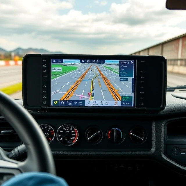
Knowing where a truck or container is no longer requires phone calls. The Global Positioning System is a satellite-based navigation network that provides precise location and time information to receivers anywhere on Earth.
Logistics operations embed GPS devices in vehicles, trailers, and containers to track movement in near real time. Geofencing triggers alerts when assets enter or leave defined areas. Combined with mapping software, GPS enables route compliance monitoring and accurate estimated times of arrival.
Signal quality can degrade in dense urban canyons or inside metal trailers, so systems often blend GPS with other sensors. Despite limitations, GPS has become foundational infrastructure for visibility, theft recovery, and network optimization across transportation.
- Satellite system providing location and time data
- Used to track vehicles, trailers, and containers
- Supports geofencing and ETA calculation
- Core technology for modern fleet visibility
Comments
No comments yet. Be the first to share a thought.
Leave a comment